Aerial mapping of agricultural areas using drones has revolutionized modern farming practices. These unmanned aerial vehicles (UAV) equipped with advanced imaging technology provide farmers with a bird's-eye view of their fields, enabling them to monitor crop health, detect pest infestations, and assess irrigation needs with unprecedented precision. By capturing high-resolution images and generating detailed maps, drones empower farmers to make data-driven decisions, optimize resource allocation, and increase overall agricultural productivity. This innovative technology not only reduces the reliance on traditional, labor-intensive methods but also promotes sustainable farming practices by minimizing the use of chemicals and water resources.
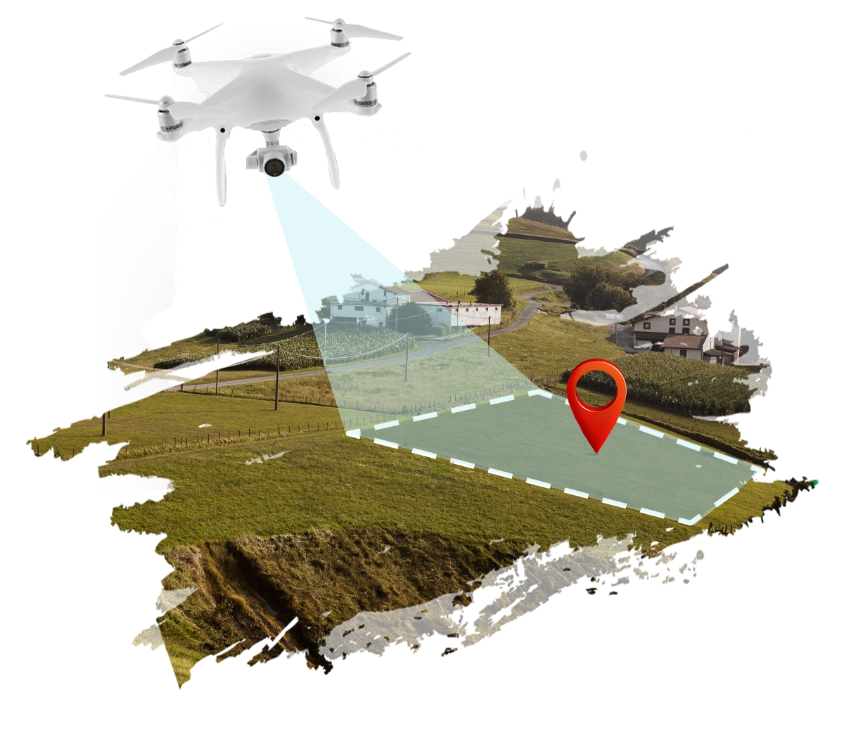
Benefits of Aerial Mapping of Agriculture Areas Using Drones
- Precise information about crop fields due to high-resolution visual inspection.
- Better estimation of the area used for agriculture
- Micro-level crop assessment
- Multitemporal data throughout the different phases of the growing season
- Fast identification and quantification of damaged or impacted crops
- Help the government of India in developing new farming policies
However, the road to the universal and comprehensive use of drones in agriculture has some complications. Drones are sensitive machines and can only be operated by skilled pilots in areas with good internet connectivity. The initial cost of using drones is usually very high due to expensive batteries. Likewise, the handling, maintenance, and hardware costs cannot be ignored either.
Now, we understand the role Samriddha Gram plays in helping farmers use this technology without hesitation.
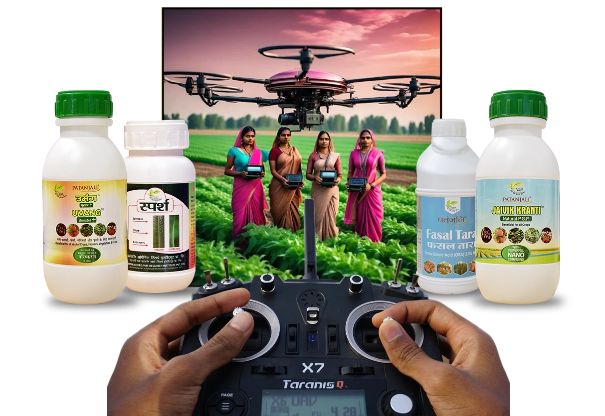
Training to understand the drone technology
Before flying drones for crop mapping, it is essential to understand the technology behind its operations. The underlying mechanism that sustains drone functions needs to be imparted to farmers so they know exactly how it functions.
Training to operate and repair drones
Unmanned aircraft should be operated adhering to strict rules and regulations. There are consequences to the decisions taken by a pilot which can be fatal for surrounding people and animals. Thus, Samriddha Gram plans to provide comprehensive pilot training to farmers so they develop the skills necessary to operate and repair drones safely.
DaaS
Samriddha Gram has planned to provide ‘Drone-as-a-Service’ (DaaS) support to farmers. In the long run, farmers will get comfortable with using drones for crop mapping and their usage will significantly increase which will create demand for 24x7 professional drone flying support. Acknowledging this contingency, Daas support is being developed to help farmers save time, effort, and money in operating drones. With regard to the concerns stated above, we would be ensuring the correct use of drone technology even after training the farmers. The Samriddha Gram team will continuously run awareness programs educating the constant nuances of drone technology while performing training and capacity-building activities. In conclusion, all our efforts are strictly focused on empowering farmers through technology and valuable human support.